tf_geo_rasterize_slope
tf_geo_rasterize_slope
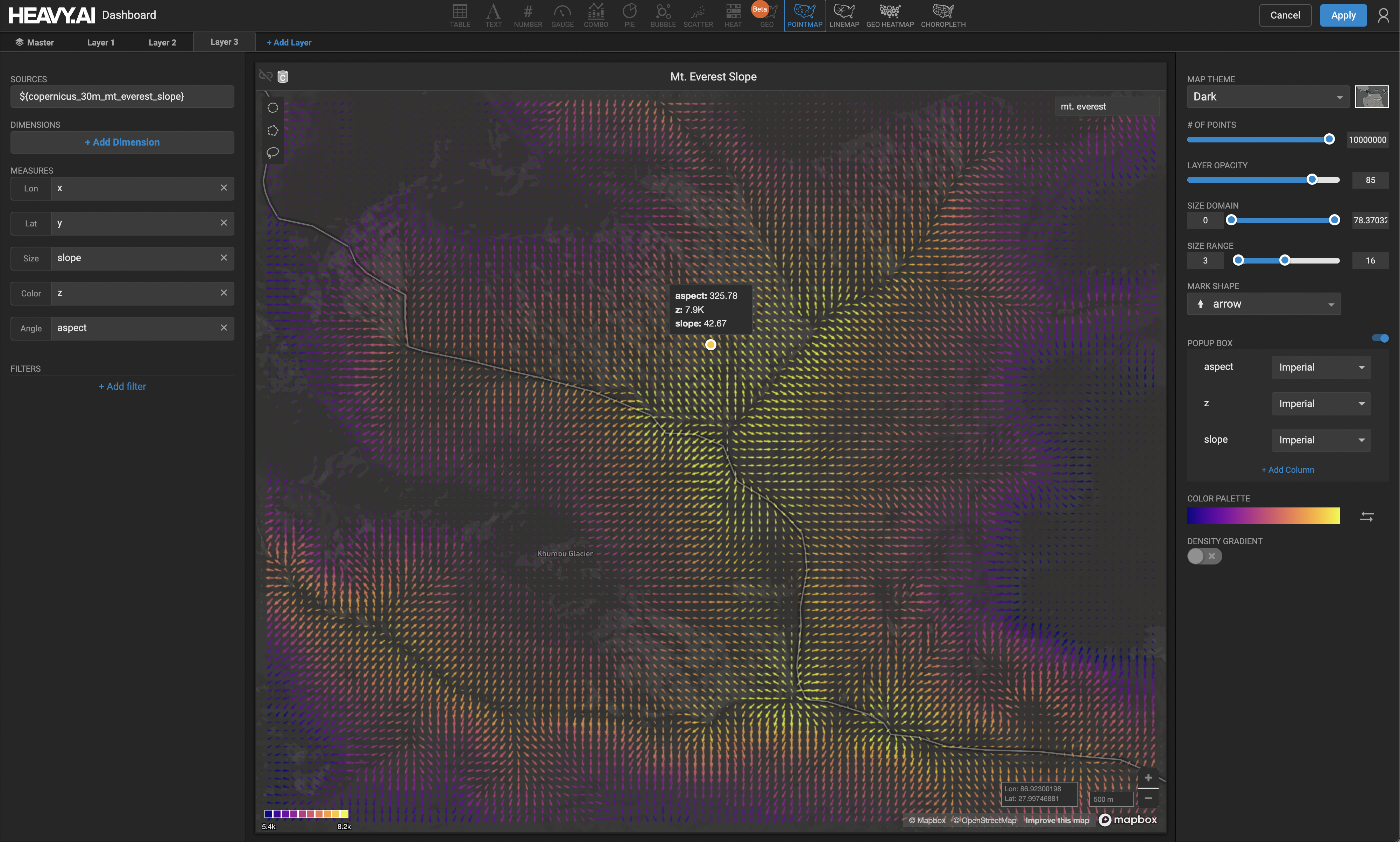
Similar to tf_geo_rasterize, but also computes the slope and aspect per output bin.
Aggregates point data into x/y bins of a given size in meters to form a dense spatial grid, computing the specified aggregate (using agg_type) across all points in each bin as the output value for the bin. A Gaussian average is then taken over the neighboring bins, with the number of bins specified by neighborhood_fill_radius, optionally only filling in null-valued bins if fill_only_nulls is set to true. The slope and aspect is then computed for every bin, based on the z values of that bin and its neighboring bins. The slope can be returned in degrees or as a fraction between 0 and 1, depending on the boolean argument to compute_slope_in_degrees.
Note that the bounds of the spatial output grid will be bounded by the x/y range of the input query, and if SQL filters are applied on the output of the tf_geo_rasterize_slope table function, these filters will also constrain the output range.
Input Arguments
Output Columns
Example